How Drone Technology Enhances Ground Penetrating Radar
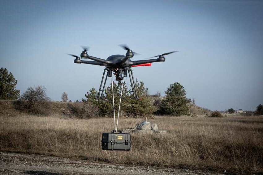
New technologies are replacing the way surveying is done and results that research can produce and deliver. Drones combined with ground penetrating radar are more useful for surveying and UgCS GPR integrated systems are the newest technology being used in land surveying.
Working in rough terrain can be dangerous for inspectors, but drone equipment helps make work safer and more efficient. Here we outline the main benefits of this recent improvement for construction engineers, land developers and more. When mounted on lightweight drones, the GPR is more accurate, usable, versatile, and safer.
How does GPR Work with Drones?
When the drone or unmanned aerial vehicle (UAV) departs, the software built into the drone will begin recording the results from the ground penetrating radar. During flight, experts can view radar status and monitor search data from the screen remotely. The drone is programmed to fly in a clear grid in the observed area. Then, when the drone lands, the data can be sent to ground control software.
The Benefits of Using Drones for GPR
Drone technology has affected many industries in recent years, including agriculture, mining, electrical equipment, warehousing, and construction. Researches are on and UAV has many benefits and new applications are always being discovered. The fact that drones can be transported easily and fly autonomously makes them versatile.
Accuracy
Advanced drones fly with precision targets at low altitude near the ground. For ground monitoring and analysis, this translates to higher data resolution for monitoring. The measurements collected by the GPR equipment are accurate and well documented. The results are as accurate as conventional way of ground monitoring.
Efficiency
Experts can use drones to identify areas they need to explore and save time to reach them. The machine can process large areas and even difficult areas, allowing you to write the information you need in a short time. Accomplishing tasks faster and using fewer distractions also reduces process costs.
Security
Drone technology enables secure mapping of terrain and equipment. Scientists can now work far away when dealing with rough terrain and difficult topography. They can deliver drones to dangerous and treacherous places like mountains and busy streets while operating remotely. These technologies help reduce the risk of injury and trauma and delays in tasks.
Versatility
Land surveying using advanced drone technology provides access to more land. Today’s scientists can access areas that were previously impossible without large, specialized equipment.
Inspection of congested roads, flood zones or congested cities is no problem for drones. By assembling the drone with UgCS GPR, it can see deep in the ground, ice, rocks, buildings and other structures. GPR drone seals can also be used to measure the depth of fresh water and ice, or to penetrate the bottom of ponds, lakes, rivers, etc.
When used to guide construction on the ground, construction workers will have accurate and up-to-date information on existing patterns. It is important to know where the sewer pipes and drains are at the bottom of the site before you start digging.
Imaging
Meteorologists can provide additional assistance to help with planning and preparation. High-resolution ground images and aerial views of terrain or urban areas are examples of the imaging capabilities provided by drones.
These are the most common benefits of a UgCS GPR integrated system. As you can see drones with GPR systems are capable of land surveying and monitoring in areas where physical presence would be too risky. You can easily monitor treacherous terrains remotely using drones containing a GPR.
The results you get from such a system is extremely accurate and you can rely on them to carry on with other work on these lands.